Wednesday, February 29, 2012

1,500th Post: The Death of Central St. Louis

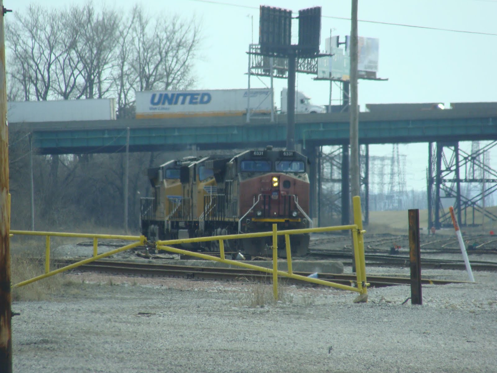
Continuing the tradition of my 1,000th post, I will again address a serious threat to the City of St. Louis

When was the last time you heard some say the following? "Hey guys, let's go take a stroll down Kingshighway in between Highway 40 and Interstate 44!"

Even if you replace "Kingshighway" with "Grand" or "Jefferson," I have a feeling the answer is still a categorical "Never."

Why is that? Why has a whole swath of the city become a no-man's land, devoid of houses, stores and really anything of value other than some rusty industrial buildings, most of which are empty? Was it always like this? Scanning over old property records and Sanborn maps, it's clear that the large Mill Creek railroad tracks have long occupied the area between Highway 40 and Interstate 44, so that could explain some of the malaise that occurs in this wide swath of land from Jefferson to Kingshighway. But the bookends, Dogtown and Lafayette Square, show that there was life in these areas, and indeed life still remains in those two vibrant neighborhoods.

I strongly believe the real culprits are the interstates which have sliced off the central portion of the city from the north and south sides. No one likes walking over an interstate, as planners realized in Washington, DC, luckily before the interstates could be completed in that city. Now, you can walk all the way from the Washington Monument to the District border in most directions and never have to confront the hell of an interstate on-ramp. In St. Louis, however, the central city neighborhoods were left isolated and targeted for "experimentation" on the part of city leaders who could use the different, admittedly suffering Compton Hill and McRee Town areas because they lacked strong advocates and neighboring areas to fight them.

Thankfully, the days of interstate building are over, but there's something just awful about the drive down what should be the major avenues of the city. It almost seems like the city's planners gave up on the area between the interstates, and started redesigning Kingshighway, Grand and Jefferson to get people in cars through the wasteland as fast as possible. We can do better, and the wastelands can hold new buildings again--or for the first time.

Let's work so that some day that Central St. Louis is the actual center of the city, and not the barren border lands between two vibrant halves.

Tuesday, February 28, 2012

Clifton Heights Park

I don't know why it took so long to get out to the Clifton Heights neighborhood, but I'm glad I did.
It is a stunning example of a Victorian suburban development, complete with ducks and winding paths that snake around the pond.
Even more interesting, it has a large collection of wood frame houses from the turn of the century, which is rare in much of the city.

Monday, February 27, 2012

Century Building SLAPP Concluded?

Many years ago, there was a beautiful building in downtown St. Louis, sheathed entirely of marble, and featuring a large open floor plan on the first floor easily adaptable for reuse, as it was once a department store and theater back in St. Louis's heyday. Two citizens, Roger Plackemeier and Marcia Behrendt, believed it was outright ridiculous to tear down such a beautiful building, and they sued to stop it, as is their right as Americans. They were counter-sued by the developers, initiating a SLAPP suit, who tore down the building to build a parking garage with the same shape, with a grocery store on the first floor. The developer refused, for six years, to give the two concerned citizens their day in court. Apparently, last year, the case was finally heard, and the jurors called to the trial. But at the last moment, the parties settled, and the judgment on the one charge the defendants plead guilty to was sealed. What really happened? We'll never know, perhaps, since the two parties are barred from talking about it. Does anyone else know anything about what happened that day in court?

Sunday, February 26, 2012

Roundhouse, Hall Street

I went and visited the roundhouse on North Hall Street; there is very little left, but there is clear evidence of such a structure existing up this way.

Saturday, February 25, 2012

More Collapse at St. Mary's Infirmary?

I can't tell for sure, but it looks like there might have been a little more collapse at St. Mary's Infirmary. I may be wrong, but it doesn't look good, if at the least in the long run.

Friday, February 24, 2012

Veterans' Memorial

Urban Review STL recently covered the proposed additions to the Veterans's Memorial in downtown St. Louis, and expressed deep concern that the additions, while justified, are not in keeping with the overall aesthetic setting of the memorial.
It should be noted, that two additions were already completed for the memorial that fit in very well, respecting the original design and not detracting from it. Let's hope the redesign will reflect their previous, considerate additions.
I particularly like the style of of the low-relief sculpture; it's monumental, but has a unique personality befitting the years when it was originally created.
Ironically, the day I was there was the Iraq Veterans' Parade, and very few people were really looking at the memorial. Could it be that it people don't realize what it is?

Thursday, February 23, 2012

East St. Louis Power Plant

Very little is known about the isolated power plant in East St. Louis. Surrounded by forest and weed-choked lots, its twin smokestacks stand in splendid isolation in the midst of the abandoned neighborhood.

Wednesday, February 22, 2012

Bloody Island

Bloody Island, across the Mississippi River from St. Louis, has a history that is closely intertwined with the city. Originally, it was the location of duels between Missouri politicians, and then it became a liability as it began to threaten the port of St. Louis.
Robert E. Lee was the officer in the Army Corps of Engineers who cleared out St. Louis's channel and attached Bloody Island to Illinois, as it remains to this day.
Once the site of a huge network of railroad tracks and sidings that wound their way across the Eads and Macarthur Bridges, the area has returned to its forested origins, devoid of many signs of life and a few abandoned buildings, and all around desolate.
A few trains still pass through the area, as there is still an industrial presence at the various Cargill elevators along the riverfront.
But in general, a sense of abandonment permeates the area, and besides the red and yellow signs directing motorists to the Casino Queen, the dominant colors are browns, grays and traces of green.
The area is isolated, and not one where you should just go wandering without knowing where you're going. Oddly, Google Maps has Bloody Island labeled on its maps. And yes, there are remains of yet another roundhouse in the area.

Tuesday, February 21, 2012

Grand Viaduct, Styrofoam and Bad Decisions

As I remarked recently, for some St. Louisans, this will be the third Grand Viaduct over Mill Creek in their lifetimes. Let us hope it is the last. I still can't believe they tore down the old one; august and massive, it was our own Brooklyn Bridge, right in the heart of the city. But alas, as you can see at 3:34 in this old movie, it fell victim to "progress."
Now sixty or so years later, I was driving on the exit ramp under the new bridge, and spotted these large white monoliths. I finally realized they were huge blocks of styrofoam, which are also being used in the filling of the old Tucker Tunnel downtown. I even glimpsed some of the old masonry for the original bridge, but I was not able to photograph before it was covered by new construction.
Regardless of the cost of revamping the original bridge, I can't imagine it being more than the cost of building two new bridges in its place in as many generations.

Monday, February 20, 2012

Grain Elevator, Midtown

Built in the 1950's the grain elevator in Midtown is a St. Louis landmark.
While not particularly ornamented, it is massive in scale.

Friday, February 17, 2012

Vandeventer Place, Revisited

Four years after I first covered Vandeventer Place, there still is a paucity of information and photographs of what was once the grandest private street in St. Louis. I only could find a couple of grainy postcards that preserve the appearance of the once august street.
I often tell people that if even Vandeventer Place (or Gaslight Square, for that matter) isn't safe from decline and the wrecking ball, then none of our built environment should be taken for granted.
I drove up Spring Avenue recently, and when I passed through the block where Vandeventer Place once stood, I took a photo to the right and to the left. It is hard to believe that even just sixty years ago Richardsonian Romanesque mansions and Gothic Revival castles once stood. Instead, I saw a chain-link fence blocking one of the ugliest buildings in St. Louis, the Veterans' Hospital...
...and on the other side, a forlorn and rapidly deteriorating "youth services facility," or as one of my students who works there calls it, the teen jail.
Below, I made an attempt to stitch together the Sanborn Maps for Vandeventer Place, hoping to give you an idea of its former glory. Coming later today.

Thursday, February 16, 2012

Still Hope for College Hill Neighborhood

I'm disappointed that College Hill has been removed from Preservation Review. The argument that the neighborhood is too far gone to save is the wrong attitude.
If anything, the fact that so much has been lost warrants that what is left should be preserved that much more carefully.
While admittedly several streets in the neighborhood have lost large amounts of housing stock, there are ample survivors on neighboring blocks that can help inspire the in-fill that could eventually fill the holes.
I'm just really worried that when an entire neighborhood is swept away, we end up with bland, suburban-style housing that looks bad, is built cheaply, and ends up abandoned even faster than the original building stock.
Take the example of the failed housing development in nearby Hyde Park; the last thing we need is "blank slate" development that always seems to fail.
What remains in College Hill, which is substantial, should be likened to the remaining good teeth in a mouth; why on Earth would we want to pull more teeth when so many have already been lost? Do we want partial dentures, or pull all the healthy teeth out for an entire new set, and risk having no teeth at all?

Wednesday, February 15, 2012

Movement on Rock Hill Presbyterian?

Supporters of saving the Rock Hill Presbyterian Church received a boost this week when the Rock Hill city council endorsed their plan to move the church. They didn't give them any money to do it, but it's an important first step.

Tuesday, February 14, 2012

Centaur, Revisited

I made it back out to the hamlet of Centaur, which is now being swallowed up by suburban development. It's slow, I should say, as this McMansion has been under construction now for years, and seems abandoned. I finally figured out where the quarry is; it is now fenced in as private property, but you can clearly see the hole in the cliff.
The old town store and post office sits in much the same state as I saw it two years ago.
The school house has been restored, and now looks great. I find this little town infinitely fascinating; the standard narrative of the history of St. Louis County is one of growth, but it bears mentioning that some parts have actually seen their population decline greatly, from a previous life as a quarry town or rural stopover deep in the wilderness.

Monday, February 13, 2012

The Near North Side West of Jefferson

North of Delmar, but west of Jefferson is a very important part of St. Louis's architectural history.
Why? Because it represents an era of St. Louis history that was almost entirely demolished in the first half of the Twentieth Century, first by the commercialization of the central corridor of the city, and then by urban renewal that swept away large amounts of the oldest parts of the city.
But just northwest of downtown, the relics of St. Louis's post-Civil Wat residential character cling to life, but only barely.
Though devoid of major landmarks, and bypassed by major avenues to the north and south, this part of the city should be highly desirable due to its close proximity to to downtown and Grand Center.
But it sits in isolation, blocked off streets preventing the natural movements of automobiles and mass transit through the area, with large swaths of vacant land permeating the area.
I distinctly remember this area in the 1980's, when my family visited a church in the area. It was a maze of completely intact, though probably partly abandoned rows of houses, giving the sense of a real neighborhood.
Just to the east is the former Pruitt-Igoe housing project site. Older housing stock, such as Second Empire and Italianate houses are now increasingly rare in the city, and are primarily found in neighborhoods like Benton Park or Soulard.
Will help come to this neighborhood before the remnants are swept away and forgotten forever? Sadly, I have a bad feeling it will not.

A Blog detailing the beauty of St. Louis architecture and the buildup of residue-or character-that accumulates over the course of time.