


 Such an amazing space, and in my opinion much more useful as a wide open space, clear of impediments.
 We will see what the future holds for the train shed.


 Wow, it's been a while but Union Station's mall is just about empty. What were once Dierdorf and Harts and a bookstore now sit empty. Abandonment is sort of like a snowball; if it starts rolling it can be hard to stop the momentum.
 But on a happier note, the hotel is still just as stunningly beautiful as it has always been since its renovation. The side lobby still elicits the same sense of style that it had a hundred years ago.
 The detailing, with its gilding and Romanesque Revival elements are still crisp and clean.
 The lighted floor, which my father said were once common throughout the United States, still impresses me.
 I've always been impressed with the exterior of Union Station, a grand edifice that sits on what was once Chouteau's Pond, as well as Mill Creek.
 Once the busiest train station in the world, it is much more quiet nowadays. I let the limestone, Richardsonian Romanesque Revival building speak for itself.


 The Grand Hall of the Union Station hotel always impressed me as a child. Coming back as an adult, it still impresses me for different reasons.
 For a turn of the century, Richardsonian Romanesque building, this hall is one of the most perfectly preserved that I have seen, and not cluttered with later additions or other alterations.
 The stained glass is stunning as well, complementing the the lavish interior of the vault.
 Above is a Sanborn Fire Insurance map of the intersection of Forest Park and Grand Boulevards, where the Council Plaza would later rise in the 1960's. As can be seen in the map, Forest Park used to dead-end at Grand, at a now gone Handlan Park. Looking to the east on the map, one can see the western end of the sprawling Mill Creek Valley, torn down in the 1950's.
 Looking at this aerial photo east towards downtown, the extent of the clearance of Midtown unfolds for the viewer. It is stunning at how much was demolished, and in its place the familiar snaking path of Highway 40 (actually built on top of Market Street or Manchester Avenue) as well as the other on-ramps and other streets built in the aftermath of the wholesale clearance.
 What is fascinating is the viewer can track the building of Council Plaza; first Grandview Apartments went up, and the remaining three buildings, including Council Tower. Below, one of the first developments built was Laclede Town, once a model for urban renewal but not mostly torn down and replaced by green fields for SLU and Harris Stowe around Compton Avenue.
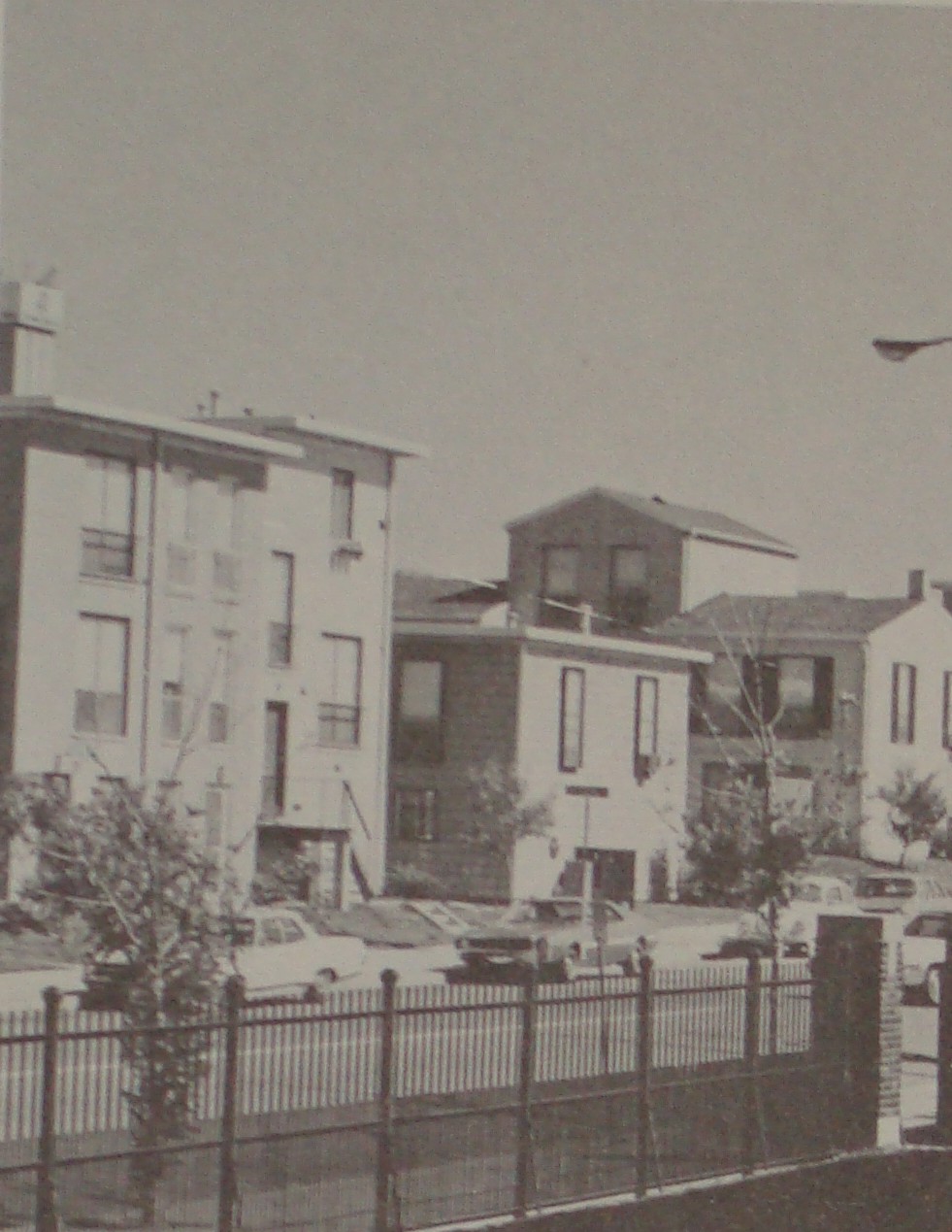 I've been told that Mill Creek still flows through a sewer in the area. Ironically, sixty years since clearance, some land still sits vacant.
 There has been much talk recently about the fate of the former DelTaco building in Grand Center; the gas station turned taco stand was part of the Council Plaza development, which transformed the area in the 1950's and 60's as the nearby Mill Creek Valley was demolished to the east of Grand, creating what locals called Hiroshima Flats. But long before the rise of Grand Center as an entertainment district and St. Louis's second downtown, it was a fashionable residential neighborhood, due west of the original core of the city. Above is the intersection of Grand and Washington
 Mere blocks from the declining private street of Vandeventer Place, in its time the most exclusive address in the city, people lived in squalor. Outside latrines besmirched the beautiful, but dilapidated Second Empire masterpieces that had long been cut up into rooming houses. Beyond a doubt, the living conditions of the streets west of Union Station and east of Grand were unacceptable, but the choice for wholesale clearance is debatable. Lafayette Square has proven that even the most rundown neighborhoods can be returned to their former beauty.
 To the south, the stately Grand Viaduct took traffic over the Mill Creek Valley, carefully assuring that the middle and upper classes of St. Louis could avoid the more unjust living conditions of the city. Tomorrow, we will look at how the Council Plaza development helped reshape the heart of Grand Center.